— by Pat Donica
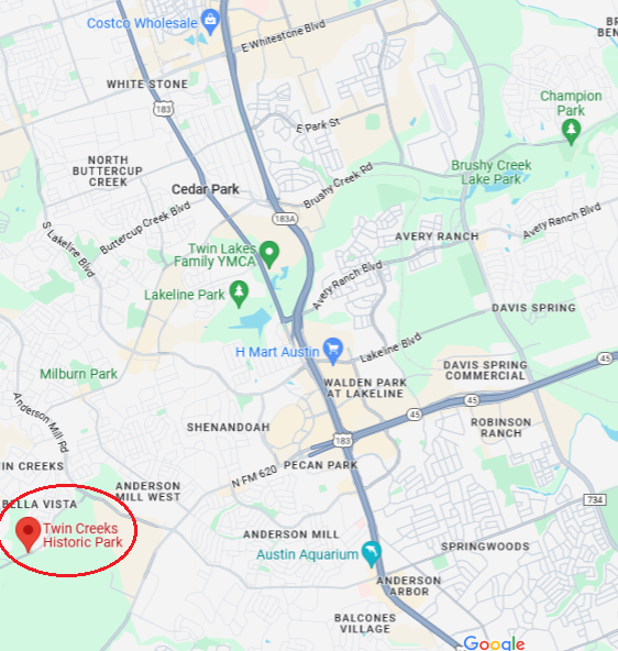
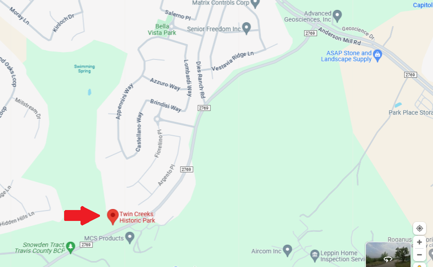
Eighteen people enjoyed a simply beautiful Sunday on Feb 4’s field trip to Twin Creeks Historic Park in Cedar Park. This little gem sits tucked in the hills between a couple of subdivisions and a golf course just inside northwestern Travis County.
A paved path runs nearly the length of the park; a dirt path continues farther. Sunday’s hike was almost a mile from parking lot to pavement’s end and then back the same way. There are benches along the trail if you care to pause and ponder. About halfway in, the path meets up with and follows the banks of a creek, taking a turn past an 1859 log cabin (not open to visitors) preserved in the hollow.
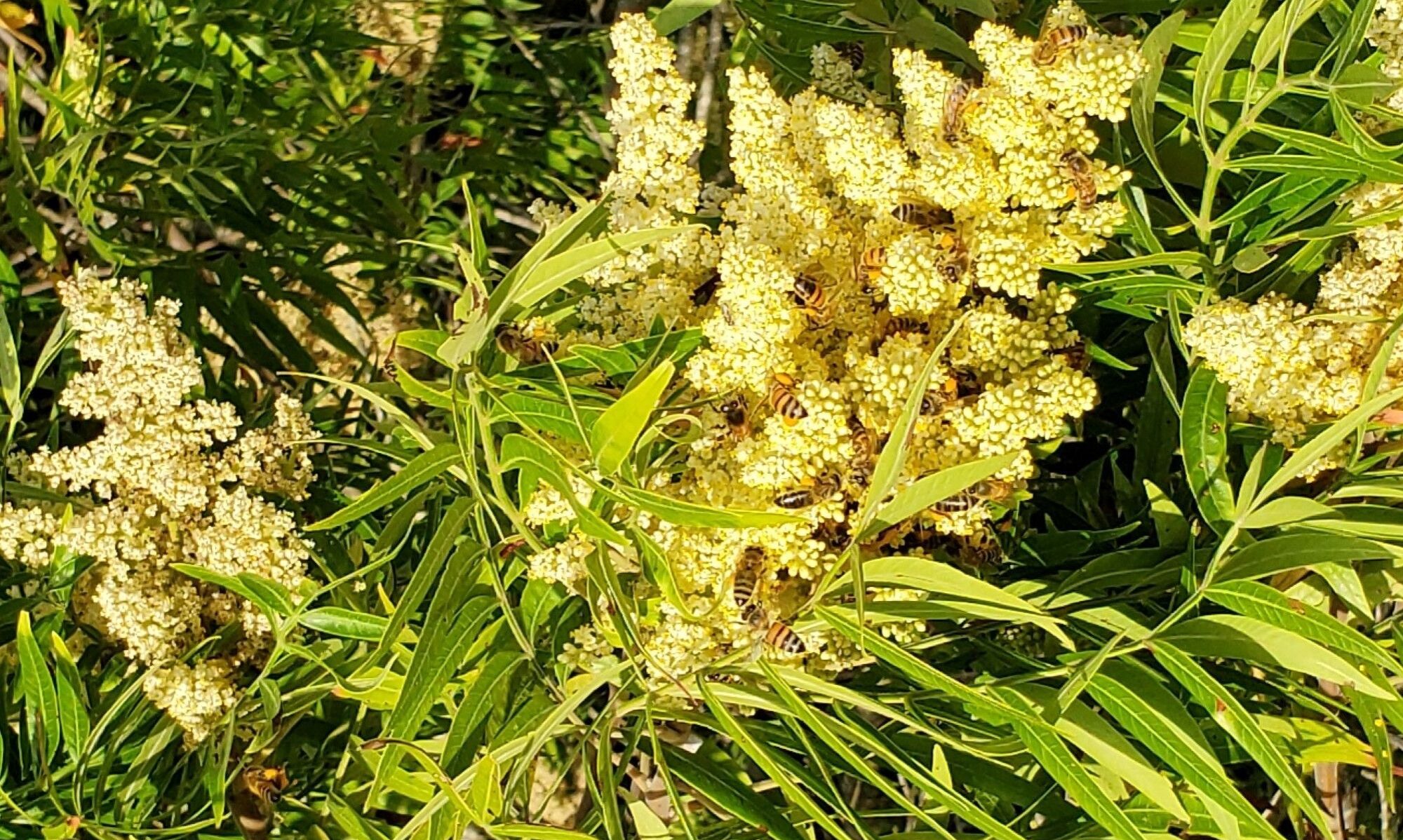
Led by Sue Wiseman and Kathy Galloway, we found Texas red oak, twistleaf yucca, sycamore, little bluestem, Lindheimer silktassel, American elm, seep muhly, possumhaw, yaupon holly, box elder, river fern, and more. Recent rains ensured the creek was bubbling and flowing. And seeing the old cabin was a real bonus. You just have to think, oh, the stories it could tell!


Photos by Greg and Pat Donica.
See photos from this field trip and others in our album=>