
— by Vicky Husband
- What: Jim Rodgers Trail Walk
- When: 1:30 PM to 4:00 PM on Sunday, November 30, 2025.
- Where: Southwest Williamson County Regional Park, parking lot at 238 Perry Mayfield Blvd, Leander, TX 78641
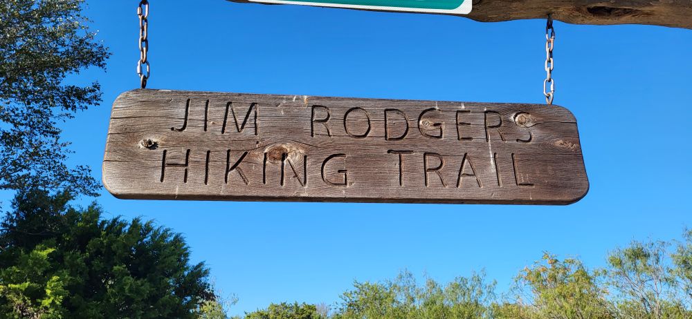
Join us for our annual Sunday after Thanksgiving field trip! We have chosen an easy hike on a 1.84 mile mulched trail loop named after Jim Rodgers, Williamson County’s first parks director. Along the trail we will use multiple interpretive signs for native plants sponsored by our chapter.
Meet at the trailhead parking lot at 1:30pm, on your left just past the first traffic circle. We will head out by 1:45pm. Rain or shine!
Restrooms are provided in multiple locations throughout the park. Bring water, bug spray if desired, and dress for the weather.
Open to all, including non-members, visitors, and all ages. Well-behaved pets are also welcome!
About Jim Rodgers, from a Williamson County Parks Department 15th anniversary news article, March 2018:
Williamson County’s first parks director, Jim Rodgers, wanted to “distinguish the (newly created) Williamson County Parks Department by focusing on larger, regional parks that provided children with an opportunity to be out in nature, even if they were just a few blocks or miles from their home. Rodgers’ vision was for county parks to model state parks with large open spaces and natural settings. City parks already provided structured recreational parks and sports fields. The desire was to complement and not overlap.”
Questions about the trip? Please contact the Field Trip Committee (contact form here).
