** ARCHIVED POST – LINKS AND IMAGES MAY NOT WORK**
— article by Kathy McCormack; photos by Gary Bowers, Bob Kamper, Randy Pensabene, and Kathy McCormack; trip route and movie by Gary Bowers
Thirteen NPSOTers explored Miller Springs Park & Preserve in Bell County on a cool but sunny November morning. Eleven people were from the Williamson County (WilCo) chapter, and two were from the Tonkawa chapter. Charles Newsom (WilCo) guided us around this bottomland area below the Lake Belton dam whose gates first closed in 1954.
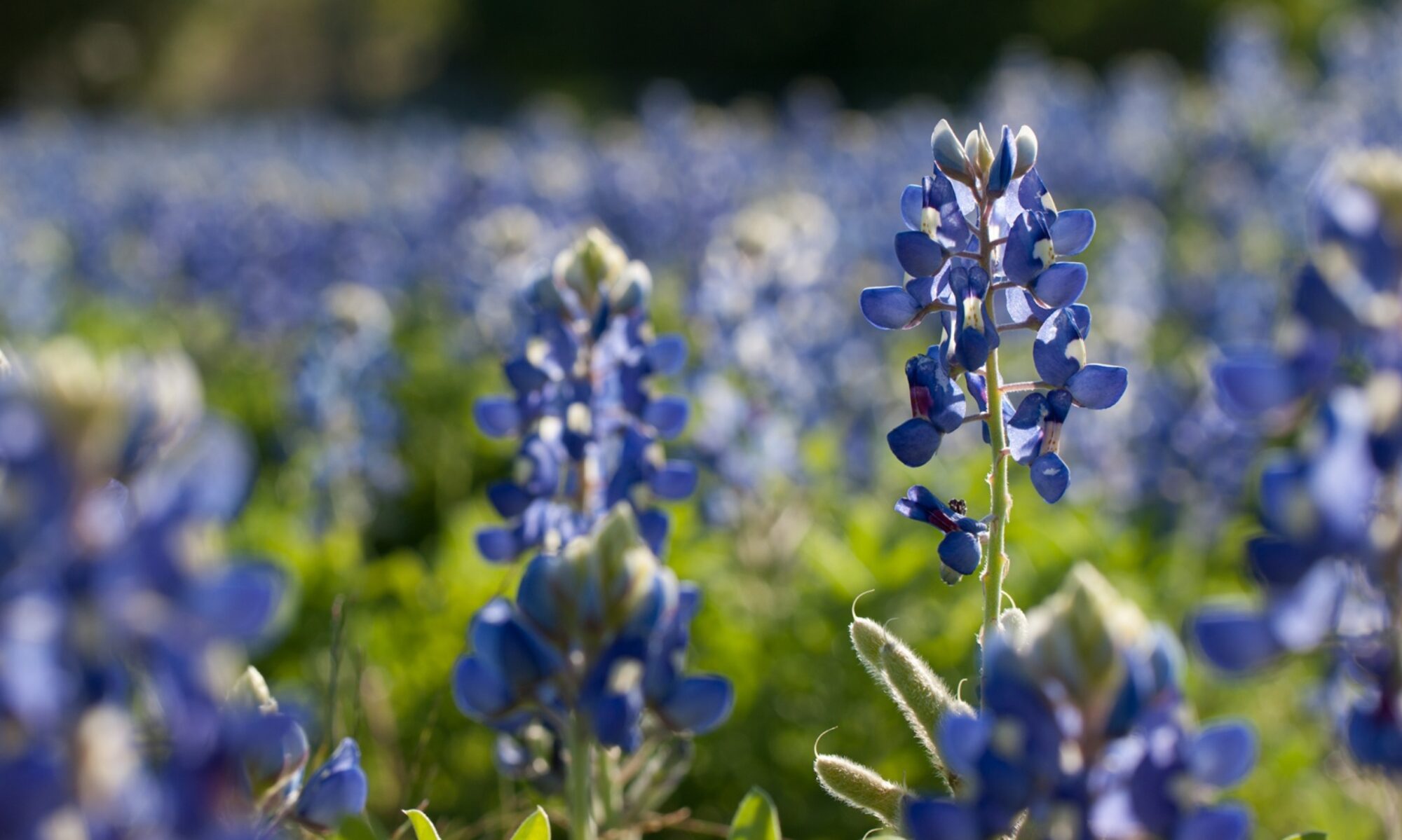
We first took a path that skirted the base of the dam. After cutting through a short section of woods and crossing over a stepping stone bridge past Camphorweed (Heterotheca subaxillaris) and a beautiful clump of Carolina Snailseed (Cocculus carolinus) berries, we saw some test plots with varying thicknesses of amended soil that were planted with the same grass/forb seed mix. A mid-1990s plant survey report by Paul Boldt indicated that this area “formerly contained rich alluvial soil deposited over thousands of years by the wanderings of the Leon River. Many Blackland Prairie and Grand Prairie species must have been present here. In the early 1950’s, however, the Basin was stripped of up to 20 feet of top and subsoil that was used to build the Belton Dam. In 1991, water poured across [this area] moving large amounts of soil, gravel, and many large stones.” The test plots were established in 1996. Along with other spent wildflowers like Horsemint (Monarda citriodora), Prairie Parsley (Polytaenia texana), and Gayfeather (Liatris mucronata), we saw Little Bluestem (Schizachyrium scoparium), Big Bluestem (Andropogon gerardi), Yellow Indiangrass (Sorghastrum nutans), and Switchgrass (Panicum virgatum) – the “Big Four” of the Tallgrass Prairie – so we knew that we were standing in a patchwork, man-made prairie ! We could see the difference in the plant communities made by the addition of even small amounts of organic material in this developing soil.
Next, we followed an old forest road over three wooden footbridges to a lookout over Green Pond. It was nice to see Eryngo (Eryngium leavenworthii) growing there. Finally, we wound our way through the old-growth riparian zone and were delighted to see not only Coralberry (Symphoricarpos orbiculatus), Inland Sea Oats (Chasmanthium latifolium), and a mystery Prickly Pear (Opuntia species), but also huge Box-elder Maple (Acer negundo), Black Willow (Salix nigra), Osage Orange (Maclura pomifera), Cottonwood (Populus deltoides), Pecan (Carya illinoinensis), and Green Ash (Fraxinus pensylvanica).
After our three-hour walk, we enjoyed some BBQ at a nearby restaurant before heading home.
Below, you can watch a short slideshow that contains photos and info from our trip.
[iframe src=”https://spark.adobe.com/video/yc9ADK5vm0Nv7/embed” width=”960″ height=”540″ frameborder=”0″]
DIRECTIONS TO MILLER SPRINGS
Directions from Georgetown Public Library: Take IH-35 North to Exit 292 Belton (approx 28 miles). Turn Left (west) onto Loop 121, which will then bear right (north); note that there is a CEFCO gas station with restrooms on the right just after the US 190 intersection (about ten minutes before reaching the park). Turn Left (west) onto FR 439 (Lake Road) for approx 2 miles. Turn Right onto Miller Springs Park Road (you will see the brown sign first). Continue to the parking loop at the end, adjacent to the dam outlet below the dam. Very limited parking available.
** ARCHIVED POST – LINKS AND IMAGES MAY NOT WORK**