** ARCHIVED POST – LINKS AND IMAGES MAY NOT WORK**
Join NPSOT-Wilco’s online chapter meeting on Thursday, September 10, 2020, at 7:00 pm, when guest speaker David P. Lewis will present Mushrooms of the Gulf Coast States: A Field Guide to Texas, Louisiana, Mississippi, Alabama, and Florida.
You must register in advance to attend the meeting. See the information later in this post for details.
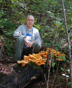
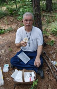
David P. Lewis, M.S., is a retired chemist and avid mycologist with a BS and MS from Lamar University, Beaumont, TX, where his master’s thesis was based on a study of East Texas mushrooms. David is currently a Research Associate with the Field Museum of Natural History, Chicago, IL, where 5000 collections of his fungi are deposited.
He is an honorary staff member associated with the Tracy Herbarium at Texas A&M University. From 2006 to 2018, he had been the Fungal TWIG (coordinator for mycologists) for the Big Thicket National Preserve All Taxa Biodiversity Inventory. He is president of the Gulf States Mycological Society (since 1998), has authored many papers related to mycology, and discovered several new species of mushrooms. (Four species are named for him.) In 2009 he received The North American Mycological Association’s award for Contributions to Amateur Mycology, and in 2010, the R.E. Jackson Conservation Award from the Big Thicket Association.
With Alan and Arleen Bessette, David co-authored “Mushrooms of the Gulf Coast States- A Field Guide to Texas, Louisiana, Mississippi, Alabama and Florida”. He and his late wife Patricia live on 60 heavily wooded acres in Newton County, Texas where they study plants, fungi and wildlife.
How to attend
- You must register in advance to attend the online meeting.
- After registering, you’ll receive a confirmation email containing information about joining the webinar on the day of the meeting.
Please register for our Sep 2020 Monthly Meeting: Mushrooms of Texas, September 10, 2020 7:00 PM CDT at the following link:
removed
NPSOT-Williamson County meetings are free and open to the public. In this time of public health risk, our in-person meetings and field trips are canceled until further notice.
Check our blog announcements, calendar and Facebook for developing plans for virtual meetings and virtual field trips.
** ARCHIVED POST – LINKS AND IMAGES MAY NOT WORK**