— by Kathy Galloway
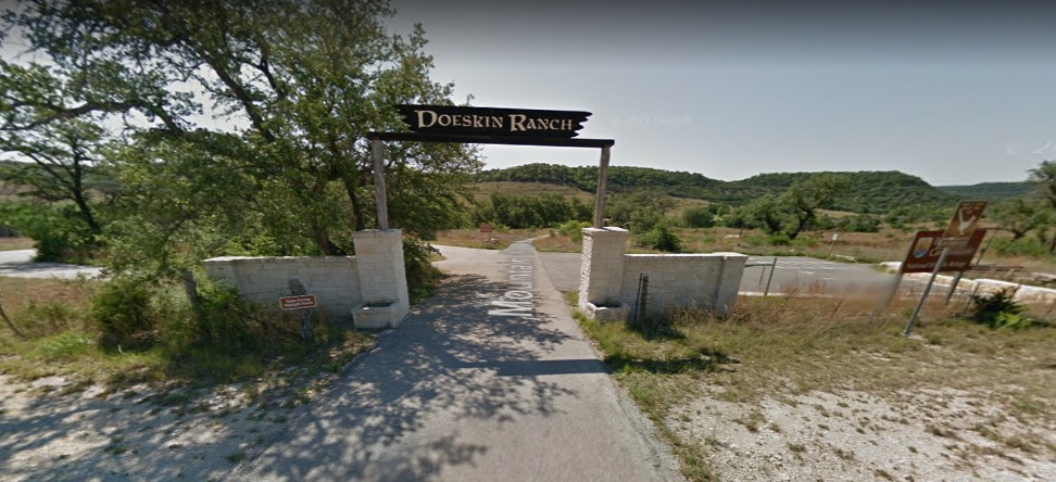
- What: Doeskin Ranch Trailhead Field Trip
- When: Sunday, February 26. 2023, 1:30-4:00pm
- Where: Doeskin Ranch Trailhead, at Balcones Canyonlands National Wildlife Refuge, on FM 1174, Bertram, TX
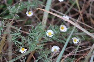
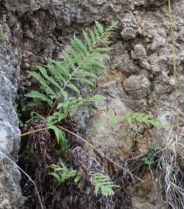
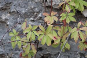
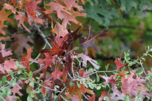
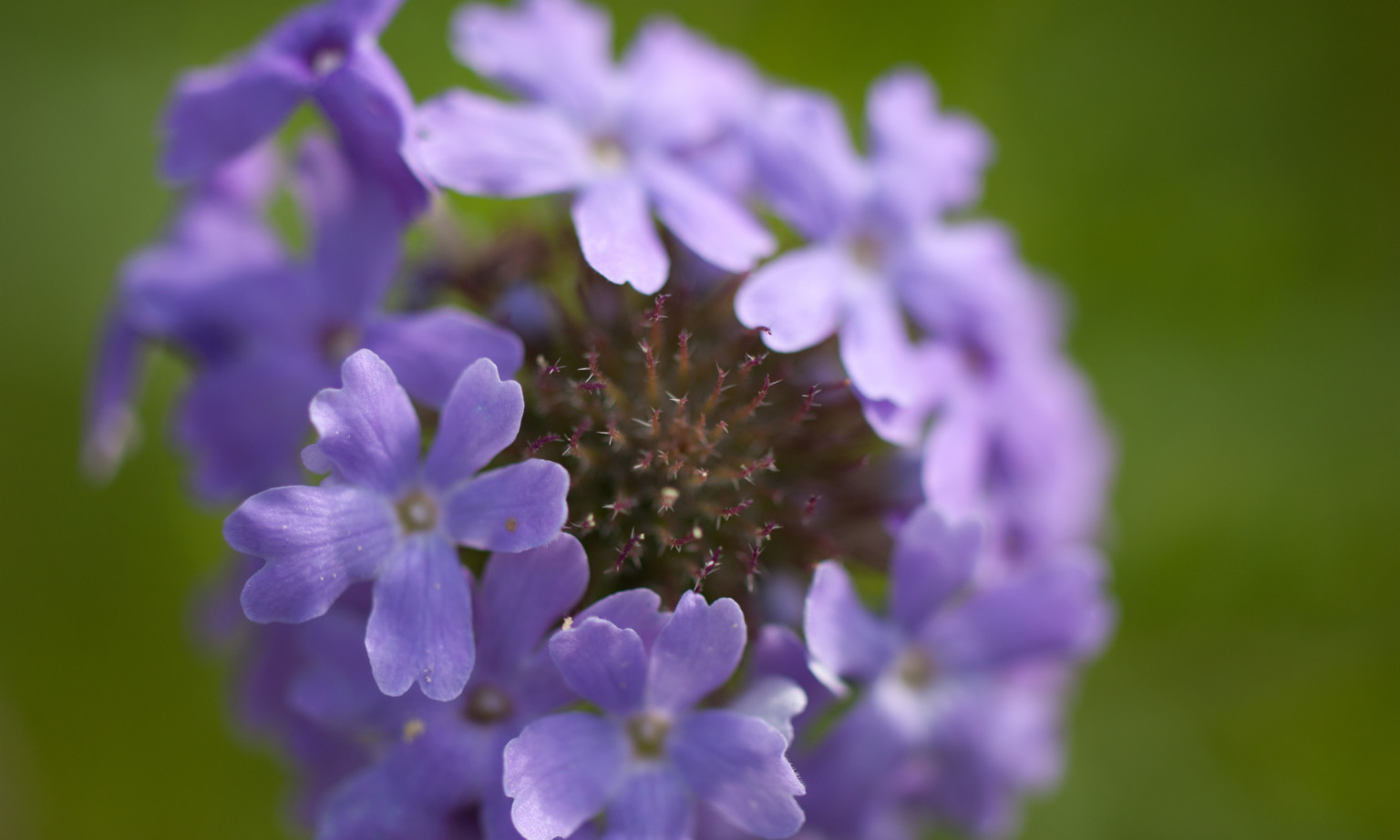
Enjoy a hike in the Refuge and see native plants in their natural habitat. You can find a description of Doeskin Ranch and a trail map on the Friends of Balcones Canyonlands NWR website at https://www.friendsofbalcones.org/Hiking.
Come dressed appropriately for the weather. Bring your own water (there is no water available at the trailhead), sunscreen, hat, walking stick, etc. Wear sturdy shoes. Most of the trails are unimproved. There are vault toilets at the trailhead.
The field trip is open to the public and there is no charge. All ages are welcome. Reservations are not required.
If you have questions, contact Kathy Galloway using this form.
Directions:
From Georgetown go west on TX 29 for about 14 miles. In Liberty Hill turn left (west) on FM 1869 for 10 miles until it ends at FM 1174. Turn left (south) on FM 1174 for 2.5 miles. Look for Doeskin Ranch Trailhead on the left. There is a paved parking lot. We will meet there.
FYI about smartphones or other navigation devices:
The BCNWR website has a street address for Doeskin Ranch, 10645 FM 1174, Bertram. At least for Google, if you use “Doeskin Ranch Trailhead” for your search, Google’s pin for the ranch is at the trailhead. If you use “10645 FM 1174, Bertram” Google’s pin is north of the trailhead. (Based on searches done Jan 14, 2023)